




- Calibsun | Expertise
Weather Data for Solar Forecasting: NWP, Satellite
Weather data is the foundation of any reliable solar production forecast
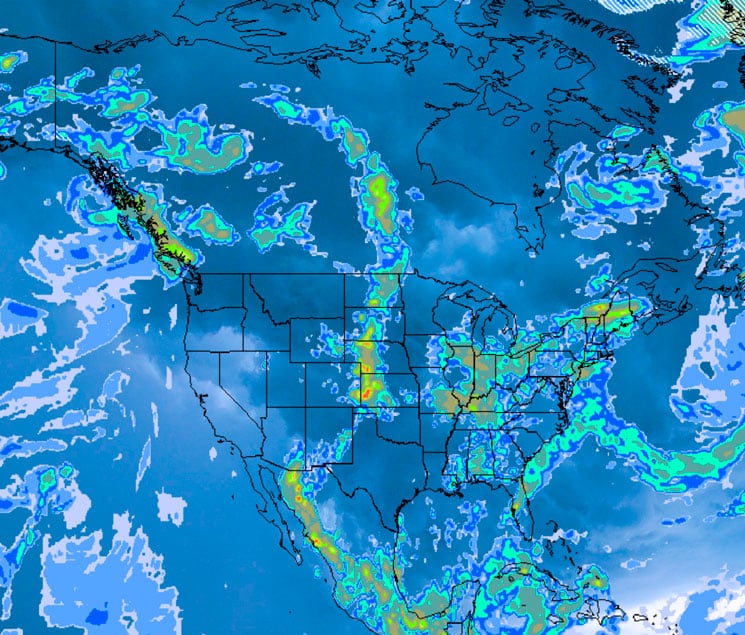
The accuracy of a PV forecasting chain depends directly on the types of data collected, their spatial and temporal resolution, the period covered by historical weather data, and the ability to capture severe weather events that drive sharp variations in photovoltaic generation.
Three families of weather data are required: numerical weather prediction (NWP) models, satellite imagery, and ground-based meteorological stations. Each source contributes specific information on atmospheric variables that drive PV generation, solar irradiance (GHI, GTI), cloud cover, temperature, humidity, aerosols, albedo, and wind. None, taken in isolation, is sufficient to cover the full range of forecast horizons and weather regimes.
CalibSun combines on-site measurements with post-processed NWP outputs and satellite images. This scientific approach, developed in collaboration with Mines Paris – PSL and over 15 years of photovoltaic expertise through Solaïs, transforms heterogeneous weather data into high-performance forecasts for PV plant operators, traders, and aggregators worldwide.
Points clés à retenir
- Données météorologiques for solar forecasting combines four families: NWP, satellite imagery, ground observations, and reanalysis data.
- NWP models (ECMWF, GFS, AROME, ICON) cover horizons from D+1 to D+15, relying on data assimilation and ensemble forecasting.
- Satellite imagery (Meteosat, GOES, Himawari), exploited via cloud motion vectors, dominates nowcasting (0–4 h) despite documented limitations.
- Intelligent combination via blending, k-NN, and machine learning produces deterministic and probabilistic forecasts (P5–P95).
- CalibSun deploys deep meteorological expertise: variable selection, downscaling, seasonal debiasing, quality check, latency management, to deliver high-performance forecasts on multi-GW PV plants worldwide.
What are the main families of weather data used in solar forecasting?
In the context of solar forecasting, données météorologiques refers to the full set of meteorological variables — measured, simulated, or reanalysed — used to estimate solar irradiance and anticipate PV production. The relevant parameters measured include solar irradiance (GHI, GTI), cloud cover, air temperature, atmospheric pressure (or barometric pressure), wind speed, wind direction, relative humidity, aerosol concentration, column content of water, and precipitation (rain, snow, snowfall).
3 major families of weather data are exploited:
- Numerical weather prediction (NWP) outputs — physical simulations of the atmosphere.
- Images satellites — near-real-time observations of cloud cover.
- Ground-based weather observations — measurements from weather stations, pyranometers, and sky imagers.
Numerical weather prediction (NWP) models
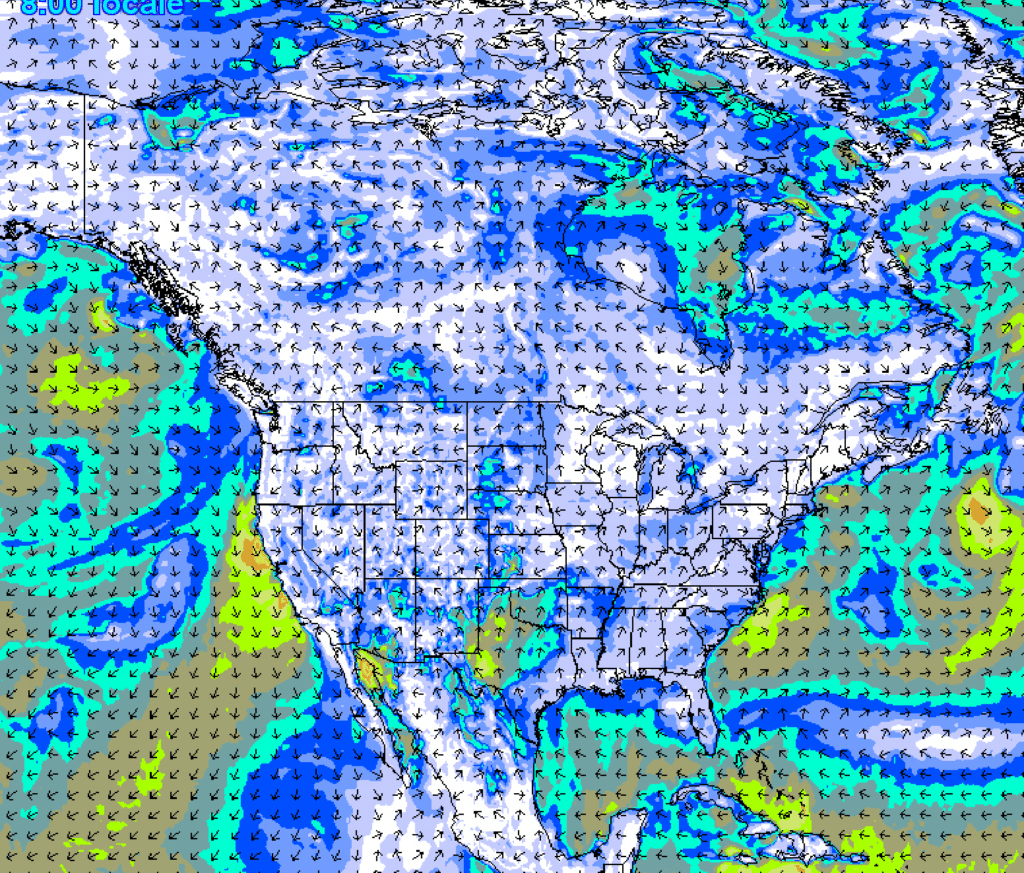
NWP models simulate the atmosphere by numerically solving the physical equations governing fluid dynamics, radiative transfer, and thermodynamics. They produce forecasts of meteorological variables over horizons ranging from a few hours to ten days. Two principles are central to their operation: data assimilation et ensemble forecasting.
Global models are well suited to medium- and long-range horizons (D+1 to D+10). Regional models, driven by global boundary conditions, offer finer spatial resolution and improved representation of local weather patterns, particularly in complex terrain.
Images satellites
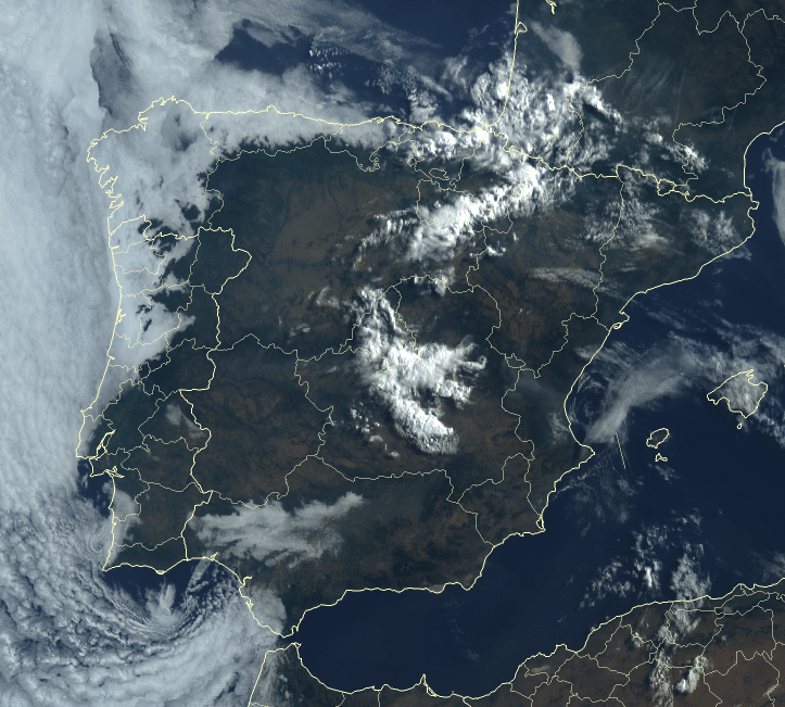
Satellite imagery is the main source of weather data for short-range solar forecasting (15 minutes to 6 hours). The geostationary satellites used are mainly:
- Meteosat (EUMETSAT) — Europe, Africa, Atlantic.
- GOES (NOAA) — Americas.
- Himawari (JMA, Japan) — Asia–Pacific.
These satellites provide multispectral images with a spatial resolution of 1 to 5 km and a temporal resolution of 10 to 15 minutes (down to 1–2 minutes in rapid scan mode). From successive images, cloud motion vectors are derived: by tracking the displacement of cloud structures between two acquisitions, the model extrapolates short-term cloud cover evolution and, consequently, surface irradiance.

Ground-based weather observations
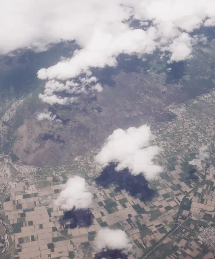
On-site measurements include pyranometer data (GHI, GTI), SCADA real-time production data, and sky imager observations. They provide the only direct ground truth of what actually happens on the plant and are essential for bias correction, dynamic recalibration of NWP and satellite outputs, and very short-term forecasting.
CalibSun's integration and meteorological expertise
Combining sources with the k-NN method

Dynamic weighting by horizon
CalibSun’s algorithm is similar to a k-Nearest Neighbors (k-NN) machine learning method. The weights of each source are recalculated for every forecast and for every horizon, at a frequency ranging from 1 to 15 minutes. The method computes the distance between the current meteorological situation and the full set of historical situations, identifies the closest analogues, and derives a probabilistic forecast from their observed outcomes.

Probabilistic forecasting
Beyond a deterministic value, CalibSun produces probabilistic forecasts in the form of quantiles (typically P5 to P95), quantifying the uncertainty associated with each forecast. These quantiles, derived from NWP ensembles and from the dispersion of analogue situations identified via k-NN, are essential for PV plant operators managing risk on large portfolios.
Forecast horizons and source selection
- Weather Data
CalibSun's meteorological expertise

Variable selection and integration of the latest models
CalibSun maintains active monitoring of newly available NWP models. Each new model is tested across multiple sites and climates, and is integrated into the operational chain only if a positive contribution to forecast quality is demonstrated. The variable selection methodology, presented at the ICEM 2025 scientific conference, identifies the NWP variables with the strongest impact on surface irradiance, by cross-checking with on-site measurements across diverse climatic contexts.

Advanced meteorological post-processing
Raw NWP outputs require dedicated post-processing to reach the precision level expected on PV sites. CalibSun deploys several layers of treatment:
- Downscaling: statistical and dynamic refinement of NWP outputs from a coarse grid (9–25 km) to plant scale.
- Quality check of measurement data: validation of on-site observations to detect sensor faults, drift, or anomalies before integration in the forecasting chain.

Scientific expertise in meteorology
CalibSun’s meteorological expertise is led by Alexandre Boilley, lead meteorologist, who completed his PhD at Météo-France in 2011 on the numerical simulation of local phenomena with assimilation of ground measurement data, and who has 15 years of experience in solar irradiance forecasting. This expertise is complemented by deep PV and solar resource know-how inherited from Solaïs, CalibSun’s parent company, which has been collaborating with Mines Paris – PSL since 2009 on solar resource assessment and forecasting. A team of scientific experts provides continuous backup, supported by peer-reviewed publications and conference contributions.

High-performance forecasting worldwide
The combination of multi-source weather data, dynamic blending, probabilistic forecasting, advanced post-processing, and on-site recalibration allows CalibSun to deliver high-performance forecasts in highly diverse climatic contexts, from arid zones (high aerosol load) to humid tropical regions (deep convection) and high latitudes (low solar angle, snow on ground). This robustness is particularly critical for operators who must guarantee forecast accuracy across heterogeneous sites and varied weather events.
The mismatch between NWP resolution (9–25 km) and the physical extent of a PV plant, from a few hundred metres to several kilometres for multi-GW plants such as Khavda, means that local meteorological phenomena are not resolved by the models. Downscaling and on-site recalibration are therefore essential to capture intra-plant variability that drives actual generation
- Questions
Frequently asked questions about weather data
What is the difference between NWP and satellite imagery for PV forecasting?
NWP models simulate the atmosphere through physical equations and are relevant from a few hours up to about 15 days. Satellite imagery observes cloud cover in near real time and excels in nowcasting and short horizons (0–6 h) via cloud motion vectors.
Why combine multiple weather data sources?
No single source covers all horizons or geographic contexts. CalibSun’s KNN-based hybrid approach dynamically weights NWP, satellite, and on-site measurements according to forecast horizon and local climate, with weights updated every 1 to 15 minutes. This delivers forecast accuracy across diverse weather conditions – from severe thunderstorms and damaging winds to rainfall and drought scenarios – ensuring reliable daily forecasts for PV plant operators managing multi-MW portfolios.
Why is solar irradiance harder to forecast than other meteorological variables?
In NWP models, irradiance is a diagnostic variable computed at the end of the modelling chain, downstream of cloud cover estimation using radiative transfer techniques. It accumulates upstream errors and requires dedicated post-processing and on-site recalibration to reach operational accuracy on PV plants.
What are the strengths and limitations of satellite imagery ?
Satellite imagery is essential for prévisions à court terme (0–4 h), where it outperforms NWP models. However, several limitations must be managed:
- Multi-layer clouds: difficulty distinguishing optical contributions from superimposed cloud layers.
- Fog and low stratus: poor contrast against the surface, especially over land.
- Snow on ground: confusion between snow cover and cloud cover (similar spectral signature in the visible).
- Low solar angle: strong distortions at dawn, dusk, and high latitudes.
- Image edges: geometric distortions at the limb of the satellite’s field of view.
For PV plants located near the edge of a satellite’s coverage, CalibSun applies on-site recalibration: forecasts are corrected using local ground measurements, which compensates for the degradation of satellite estimates in these zones — a differentiating approach specific to CalibSun.