 en
en 
 fr
fr es
es de
de
INSTANT - Technology
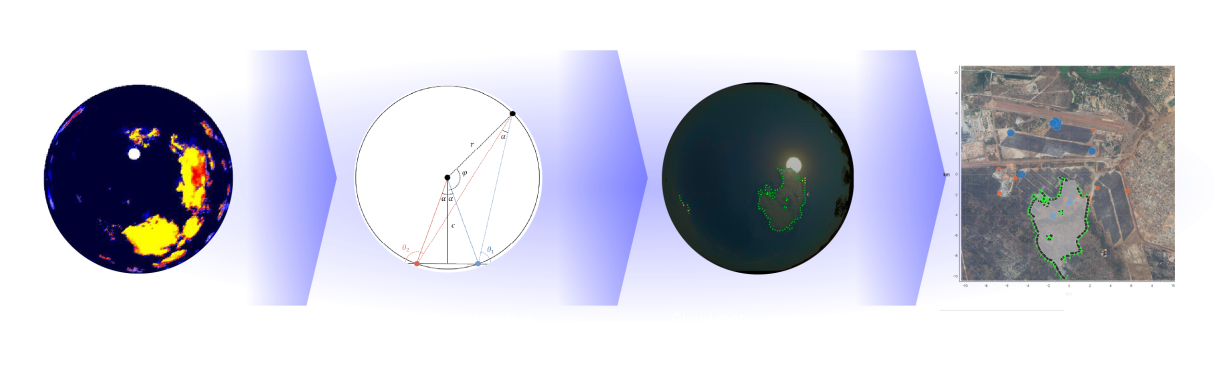
From 3D reconstruction to shadow estimation on the PV plant
Main steps of the method
Cloud segmentation
On different hemispherical images to identify pixels corresponding to cloud directions.
Identification of potentially cloudy areas
And projection of the shadow cast from these areas onto the photovoltaic plant.
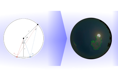
Identification of the boundaries of these cloudy areas
Using image processing techniques and estimation of their altitude based on the angular difference of the pixels corresponding to these boundaries between different cameras.
Estimation of the 3D movement speed
Of the points generating the boundaries by tracking these points across multiple consecutive images. Projection of these points onto the photovoltaic plant to obtain an estimate of the actual cloud shadow.
3D RECONSTRUCTION OF CLOUDS
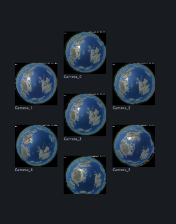
Simultaneous sky capture by multiple cameras for 3D reconstruction.
The core of the INSTANT algorithm relies on simultaneous sky capture by multiple hemispherical cameras and 3D reconstruction of sky areas that may potentially contain clouds.
These areas can then be projected onto the ground to estimate the shadow cast by the clouds and determine if it is likely to impact the plant soon.
SHADOW IMPACT ESTIMATION
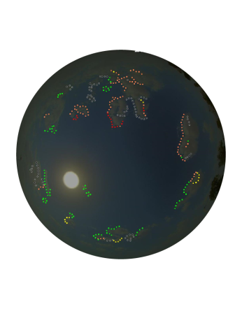
Obtaining a highly reliable shadow impact zone on the plant.
In parallel, the estimation of the upcoming shadow impact on production is obtained by analyzing images using Geometry based Machine Learning models
Not using supervised learning for the shading calculation part eliminates potential issues with model generalization and updating. The resulting algorithm can thus be deployed as is for any site. There is of course an optimal arrangement of cameras number and positioning to achieve maximum algorithm performance, thus, it is still possible to adapt to the terrain constraints of a particular site.
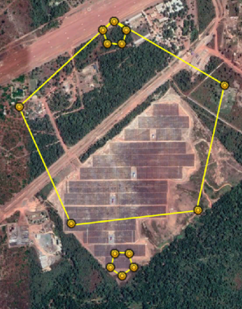
Adapts to the terrain constraints of a particular site.
INSTANT algorithm can be deployed as is for any new site.
This model is capable of associating identified clouds with a typical expected impact on irradiation. The great strength of the INSTANT algorithm is to maximize the use of geometric relationships and stereoscopy of multiple shots of the same cloud situation to obtain a very reliable shadow zone, made possible by the use of multiple cameras. Many calculation techniques are used to perform these heavy geometric calculations in a reasonable time, typically a few seconds.